Thursday, January 24, 2019

The Homestretch - Post 13

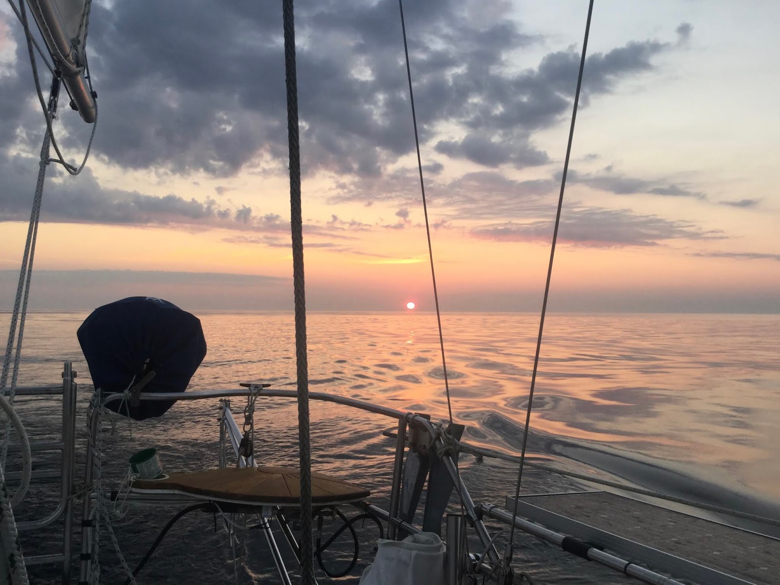
We enjoyed the sunset on the Bohemian River and before turning in, we consulted Eldridge for the tides and listened to the weather forecast to plan the following leg of our trip. There was a front coming in with possible afternoon thunderstorms so we decided to take advantage of the fair current and catch the tide before dawn. We did not want to leave too early as the extreme summer rains had resulted in very large quantities of debris in the Chesapeake Bay. We had seen pictures of Ego Alley in Annapolis chock full of tree logs and other debris and the State of Maryland had spent millions of dollars removing debris from the Bay.

At 4 am we got up and before 5 am we were raising the anchor. There was an old crab pot that was caught around the anchor and we had to get that untangled as well as a large branch we had also picked up. With the anchor free and secured at the bow and with favorable current we started heading south. It was dark and calm. We had the RADAR going and had our eyes scanning forward as we were concerned about hitting floating debris. 

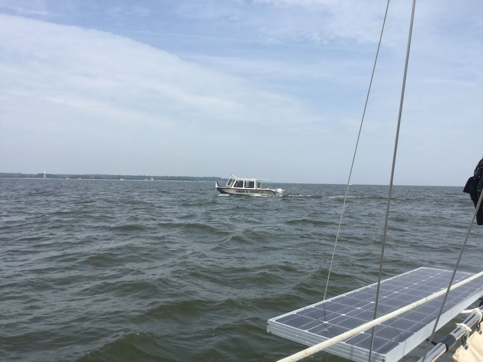
We were motoring at four knots (7.5 km/hr) at slightly over idle as we had a fair current of almost two knots (3.5 km/hr). We stayed in the shipping channel and also kept an eye out for commercial shipping. There was lots of debris in the Bay, small branches bundled together in clusters 3 to 5 feet (1 to 1.5 meters) across. Shortly before dawn we spotted a large debris raft made up of three logs in the shipping lane. This collection of debris was approximately 30 by 40 feet (9 by 12 meters). We veered to starboard, and after passing it, contacted the Coast Guard to report it. For the rest of the day we kept hearing the Coast Guard broadcast the hazard on VHF Channel 16 every hour.

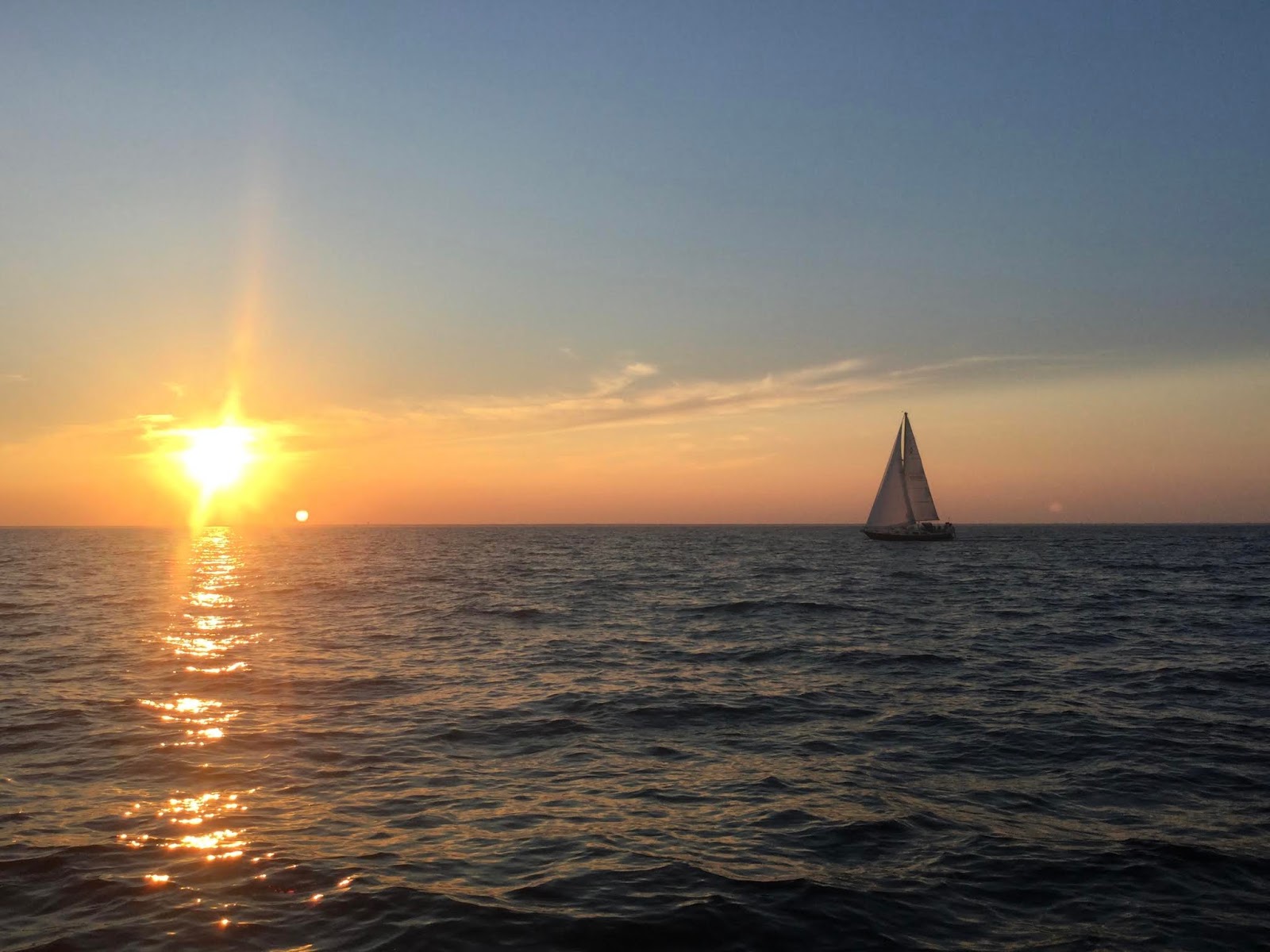
The sun came up and we were treated to another beautiful sunrise; this is one of the perks of early departures after all!

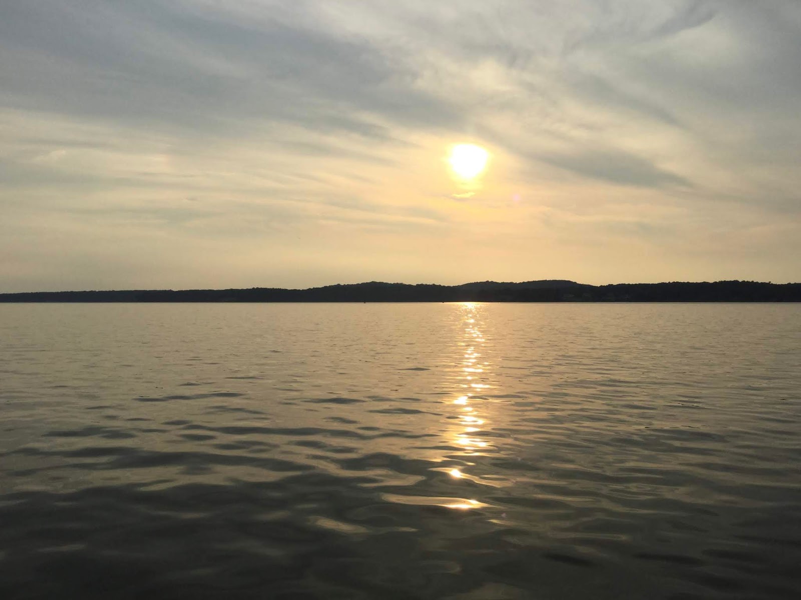
Sunrise, Chesapeake Bay

We continued south and by mid-day we were approaching the Bay Bridge and we got a sense that this year’s cruise was coming to a close.

Approaching the Bay Bridge, Chesapeake Bay

As we were ready to pass under the bridge, a 30 foot (9 m) aluminum power boat registered in Connecticut approached us and slowed down. The Captain leaned out of his pilothouse and called out to us, “Is that Rosalind?”  We replied, "Yes" and then he added, “She looks really nice!”  The Captain was Rosalind’s previous owner! We spoke for a few minutes and took pictures of each other’s boat before the Captain sped away. It had been an exciting and unexpected encounter! 

A Chance Encounter with Rosalind's Previous Owner, Chesapeake Bay

A few minutes later we heard reports of a collision between a fishing boat and a sailboat on the Bay. We were too slow to offer assistance, however there were several powerboats in the area that got to the scene. It was unclear from the radio chatter exactly what had happened. It sounded that fortunately there were no serious injuries. The next report confused us: “The boats are drifting together north on the Bay.” This report only made sense about 30 minutes later when we passed both boats about one mile (2 km) north of Thomas Point Light. The Coast Guard was getting to the scene and they were trying to determine where the passengers and captains of the two boat were. We could see a 30 foot (9 m) powerboat on top of a 30 foot (9 m) sailboat. It was truly miraculous that no one got seriously hurt, at least this is what was said on the radio. 

Collision, Chesapeake Bay

We continued on. The weather forecast had called for a Small Craft Advisory starting at 2 pm. A front was on its way with possible thunderstorms. We had passed Thomas Point Light and the wind started to pick up. We knew that we could not make it to Herrington Harbor North in time so we turned to starboard and headed for the West River. We called Hartge Yacht Harbor and let Buddy, the Harbormaster, know that we were on our way. 

At 2 pm we picked up our mooring and turned off the engine. It has been a great trip and a wonderful season. We had visited new cruising grounds and had covered over 1000 miles (1850 km) at about 5 miles per hour (9 km/hr). We made new friends and met up with family and old friends. Rosalind had taken care of us and we had done our best to take care of her. 

We planned on keeping Rosalind at her mooring for a while and then hauling and getting ready for next season but Mother Nature had other ideas...Hurricane Florence formed and started heading towards the East Coast of the US. So, we moved Rosalind to Herrington Harbor North to be hauled for the storm. Luckily for us in the Chesapeake Bay, the storm track changed and the hurricane missed us.   

January 2019, Rosalind Snow-Covered and Awaiting her Next Voyage

Thank you for following us along on our 2018 one thousand mile (1850 km) cruise. We will update you as the plans develop for our next voyage. Fair winds and following seas to you. 

Wednesday, January 9, 2019

Atlantic Highlands and Down the Jersey Coast to Cape May - Post 11

Atlantic Highlands, in the southern part of Sandy Hook, has a breakwater and a couple of marinas behind it. There are over 100 moorings behind the breakwater but not much room to anchor. So, we decided to use Dockwa, the app that allows one to reserve slips and moorings, and got a mooring at the Atlantic Highlands Yacht Club. We were waiting for a weather window to go down the New Jersey coast so we needed a place to stage and Atlantic Highlands looked promising. 

The three-hour trip from Great Kills to Atlantic Highlands was uneventful and we motorsailed all the way in a light breeze. We were very happy to move to Atlantic Highlands, a quaint cruiser-friendly waterfront community. After picking up our mooring, we hailed the launch to go to shore. We quickly got a sense of the place. Within walking distance there were several coffee shops, a couple of ice cream parlors, numerous restaurants, laundry facilities, a supermarket, and a multi-screen movie theater. The launch service ran from early morning until 11 pm. We could use it as many times as we wanted and it was free (included in the mooring fee). 

Sunset, Atlantic Highlands - The Calm Before the Storm

We spent a couple of days in port waiting for a weather window. It was still hot (in the 90s, 35+C) and humid so one afternoon we decided to go to the movies to cool off. When we got out of the movies, the sky looked dark and gray so we rushed to get the launch back to Rosalind. We got on board and soon after we started seeing lightning to the west. I thought that the storm was going to miss us and the first part did but before long we were in the middle of a severe thunderstorm. The severe weather was supposed to be over by 7 pm, then 8 pm, then 9 pm...The severe thunderstorms lasted until well after midnight and they caused major damage. The marina and surroundings lost power, cars floated away, a sailboat mast got struck by lightning in the mooring field (I saw it happen) and overall it was a big mess. We watched from inside Rosalind's cockpit enclosure but after the lighting strike in the mooring field we spent a lot of time down below. Wind was gusting to 35+ knots (65+ km/h) and Rosalind and the other boats were getting tossed around. Our anchor riding sail helped us a lot and we were swinging around a lot less than the boats around us.  

We turned in late and used the next day to relax and do some provisioning. It looked like we were going to get a good 24-hour weather window so we got Rosalind ready and left Atlantic Highlands the following morning at 10:00 am.  

Sunset off the New Jersey Coast

We used the tide to get out into the Atlantic Ocean, where we had calm seas as we motored down the coast. While offshore, we passed through a school of slates (small rays). They were about three feet (one meter) across and there must have been hundreds if not thousands of them. They were moving towards the southeast and we wondered if they were migrating south. We kept seeing them for the better part of an hour. In the early afternoon, while 6 miles (11 km) offshore, Rosalind got invaded by a swarm of biting flies. It was a Hitchcock-like afternoon as we were frantically trying to avoid getting bitten. Things settled down a little by 5 pm and a gentle breeze from the shore gave us a few hours of enjoyable motorsailing. Night fell and by midnight we passed Atlantic City. We could see the flashing marquees from 4.5 nautical miles (8 km) out in the ocean. 

We were monitoring traffic on both AIS and RADAR and we saw a slow-moving oil exploration platform/ship that we passed on our port side. A little over 4 miles (7.5 km) behind us was the ship Skipjack. On the AIS, Skipjack was showing a closest point of approach (CPA) of about two miles (3.5 km) then, in a mater of a few minutes, the CPA went to zero! We got on the radio and hailed Skipjack. The Captain immediately responded. Yes, he was aware of us; he had us on RADAR and he could see our masthead light too (from 4.3 miles or 8 km away). He was maneuvering to give the oil platform plenty of room and would head back out to sea as soon as he cleared it. The rest of the night was uneventful. We did track a number of targets on RADAR and the automatic tracking feature (MARPA) proved useful again. 

Sunrise off the New Jersey Coast

Shortly after dawn we arrived at the Cape May Inlet where we were greeted by a pod of dolphins! It had been a great 24 hour sail! After navigating the inlet, we dropped the hook to the north of the Coast Guard Station in 12 ft (3.5 m) of water.

Gazebo, Cape May, New Jersey

Victorian Hotel, Cape May, New Jersey

We spent several days in Cape May going to shore, walking, seeing the beautiful Victorian homes, and provisioning. We found a great coffee shop:  Out There Coffee. The coffee was great, the prices very reasonable, and the owners friendly. The shop even had gluten-free treats! We took all of their gluten-free almond cake slices for the rest of our trip back home and as soon as we got a good weather window we left Cape May for Delaware City.


Around Cape May, up Delaware Bay, and through the C&D Canal - Post 12

When we sailed down Delaware Bay earlier in the summer, we used the Cape May Canal to get to Cape May. The Cape May Canal is narrow, shallow, and there are no lights to facilitate any night passages. There are also the remaining foundations of an old bridge to go through. Looking at the tides and currents, we wanted to be at the C&D Canal entrance at 3:30 pm. Knowing that we would have to leave when it was still dark, we decided to go out the Cape May Inlet, into the Atlantic Ocean, then go around Cape May and up Delaware Bay. This added a few miles to our trip but we felt comfortable navigating the inlet in the dark.

Sunset, Cape May, New Jersey

So, we got up at 3:30 am and were heading out the inlet by 4 am. There was traffic in the inlet. A large commercial fishing boat was coming in with its outriggers extended and floodlights blinding everyone within a quarter mile (0.5 km). We passed it to port and soon we were alone in the inlet. It was pitch black. Looking behind us, we saw a 60 ft (18 m) sportfisherman heading our way. The boat was moving fast and was on its way to getting on a plane. Before we knew it, we were looking at a 6 ft (2 m) wake that broadsided us. Rosalind got thrown first to starboard then to port, swinging at least 45 degrees in each direction. We had to hold on so as not to get thrown around. I grabbed the VHF mic and yelled, "Thanks for the wake Captain!" I got a single word reply: "Bummer". The incompetent Captain could have caused us serious harm but we were fortunate. Everything had been well secured down below and we were alright (except for our nerves). It took a few minutes to cool down.

Sunrise, Atlantic Ocean at the Mouth of Delaware Bay

Soon we were in the Atlantic Ocean. We were monitoring RADAR, AIS, the chartplotter, and the depthfinder, as we had to navigate through some shoals on our way into Delaware Bay. Dawn arrived and we saw the ferries servicing Cape May and Cape Hanlopen. The day was hazy and gray but we did not complain, as even without the sun beating down, the temperature still reached 90 degrees (33 C). There was some traffic in Delaware Bay and we stayed out of the shipping channel so as not to be in the way of fast-moving ships. The AIS told us who was in the channel behind us and who was in front of us.

The hours passed and by 3:30 pm we were at the entrance of the C&D Canal. We turned into the Canal at slack water and slowly, slowly the current picked up until we were doing 7+ knots (13+ km/hr). We had initially planned on stopping at Chesapeake City but again (like when we crossed the Canal going in the opposite direction) we decided to take advantage of the current and push on.

Sunset, Bohemia River, Chesapeake Bay

We sailed until dusk and anchored at the mouth of the Bohemia River, in the company of two other ketches, in our beloved Chesapeake Bay. It had been a long day from 3:30 am to 7:30 pm. We covered 70 miles (130 km), another record-breaker for a non-overnight leg. We saw the sunset and turned in for the night. We were on the homestretch.